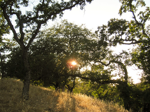
The trail began with this nice view of the sun beginning to set behind the oak trees:
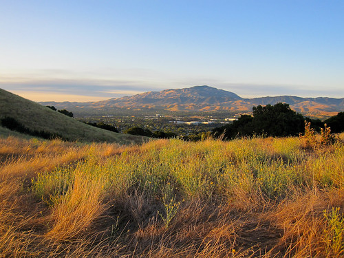
Once I got to the peak of the hill I had these views of the sun shining on the Mt Diablo and the hills of the San Ramon Valley:

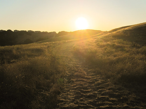
Here's a picture of part of the trail with the starting to set behind the hill:
Here are my stats and info from the ride:
| Name: | Bishop Ranch San Ramon | |
| Date: | Jul 26, 2011 7:18 pm | |
| Map: (valid until Jan 23, 2012) | View on Map | |
| Distance: | 4.84 miles | |
| Elapsed Time: | 1:16:35 | |
| Avg Speed: | 3.8 mph | |
| Max Speed: | 25.1 mph | |
| Avg Pace: | 15' 49" per mile | |
| Min Altitude: | 474 ft | |
| Max Altitude: | 977 ft | |
| Start Time: | 2011-07-27T02:18:16Z | |
| Start Location: | ||
| Latitude: | 37.749596º N | |
| Longitude: | 121.963113º W | |
| End Location: | ||
| Latitude: | 37.749574º N | |
| Longitude: | 121.963155º W | |
No comments:
Post a Comment